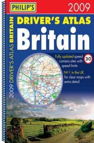
Philips Drivers Atlas Britain 2009
"Philips Drivers Atlas Britain 2009" contains all the map features normally included only in the more expensive road atlases. The front section has a route planner, distance table, legend, street map of London, chart of motorway junctions with restricted access, plus a key map. The 96 pages of road maps cover Britain at 3 miles to 1 inch (Scottish Highlands and Western Isles at 4 miles to 1 inch, Orkney and Shetland at 5.25 miles to 1 inch). The maps clearly mark service areas, roundabouts and multi-level junctions, and in rural areas distinguish between roads over and under 4 metres wide - a boon for drivers of wide vehicles. The town plan section includes 53 town and city centre maps, marking car parks and places of interest. Completing the atlas is a comprehensive index of 28,000 place names.
Kниги от същия жанр
-

Japanese Colour Printsпечатна:
11.24 EUR
22.00 лв. -

Ancient Mexicoпечатна:
20.40 EUR
39.90 лв. -

Poussinпечатна:
8.15 EUR
15.95 лв. -

Revenge Wears Prada: The Devil Returnsпечатна:
9.66 EUR
18.90 лв. -

Vitamin Dпечатна:
60.84 EUR
119.00 лв. -

Eyemazing: The New Collectible Art Photographyпечатна:
81.75 EUR
159.90 лв. -

The Girl Who kicked the Hornets Nestпечатна:
9.66 EUR
18.90 лв. -

Fashion & Advertisingпечатна:
31.18 EUR
61.00 лв. -

Stone of Farewellпечатна:
10.53 EUR
20.60 лв.


То е много важно за нас, затова може да ви бъдем от полза като ви дадем следните насоки:
Резюме: Моля опишете вашето общо впечатление от продукта в няколко думи.